explore Our Landscapes and Resources
Tyson consists of approximately 2,000 acres at the northern edge of the Missouri Ozark region, with a variety of ecosystems resulting from the geology, topography, hydrology, and historical disturbances of the area. As private property, Tyson protects natural resources for research and education purposes, and the surrounding 4,000 acres of natural areas create a buffer from suburban development.
Ecosystems

forests
About 85% of Tyson is forest habitat, consisting of mostly oak and hickory tree species on steep ridges. The forest has been described with three distinct types of vegetation: exposed south facing slopes (eastern red cedar and chinkapin oaks); protected slopes (flowering dogwood, white oaks, and black oaks); and bottom lands (slippery elm and sycamore).

aquatic systems
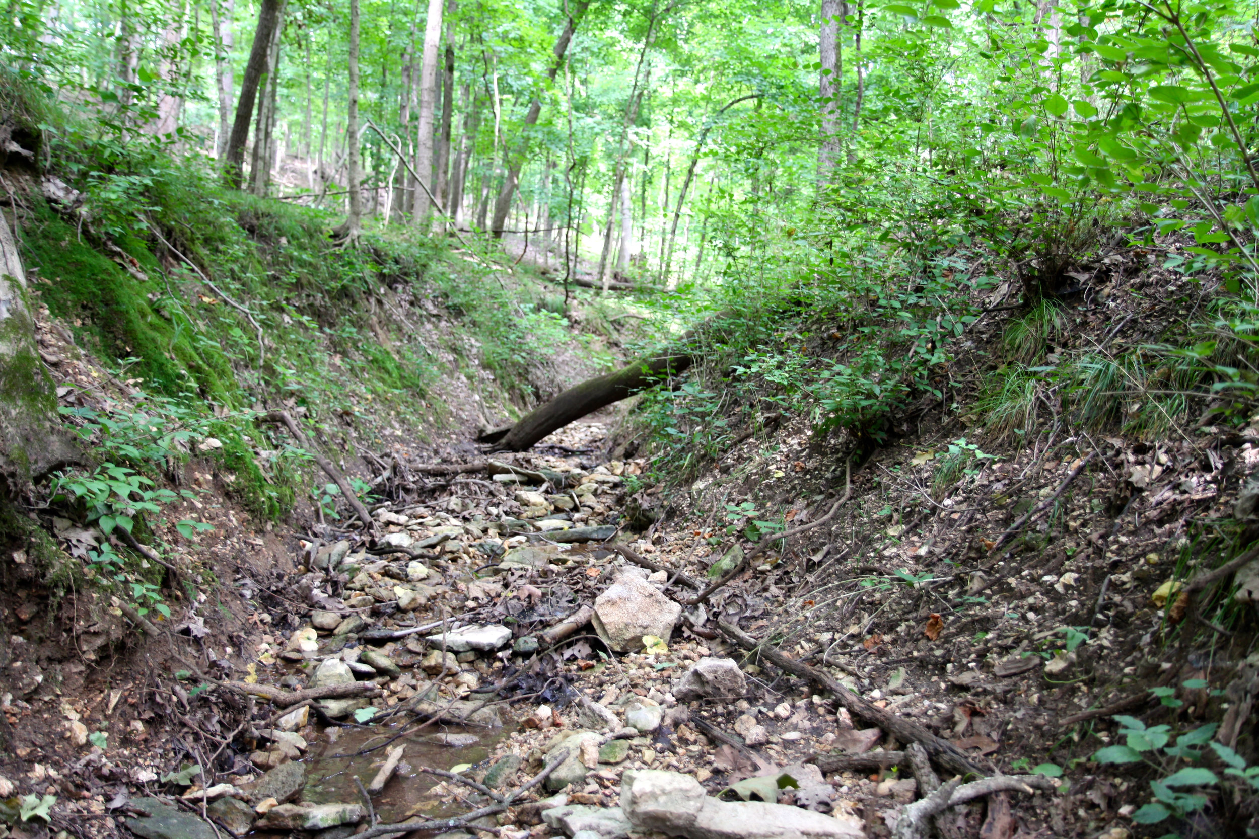
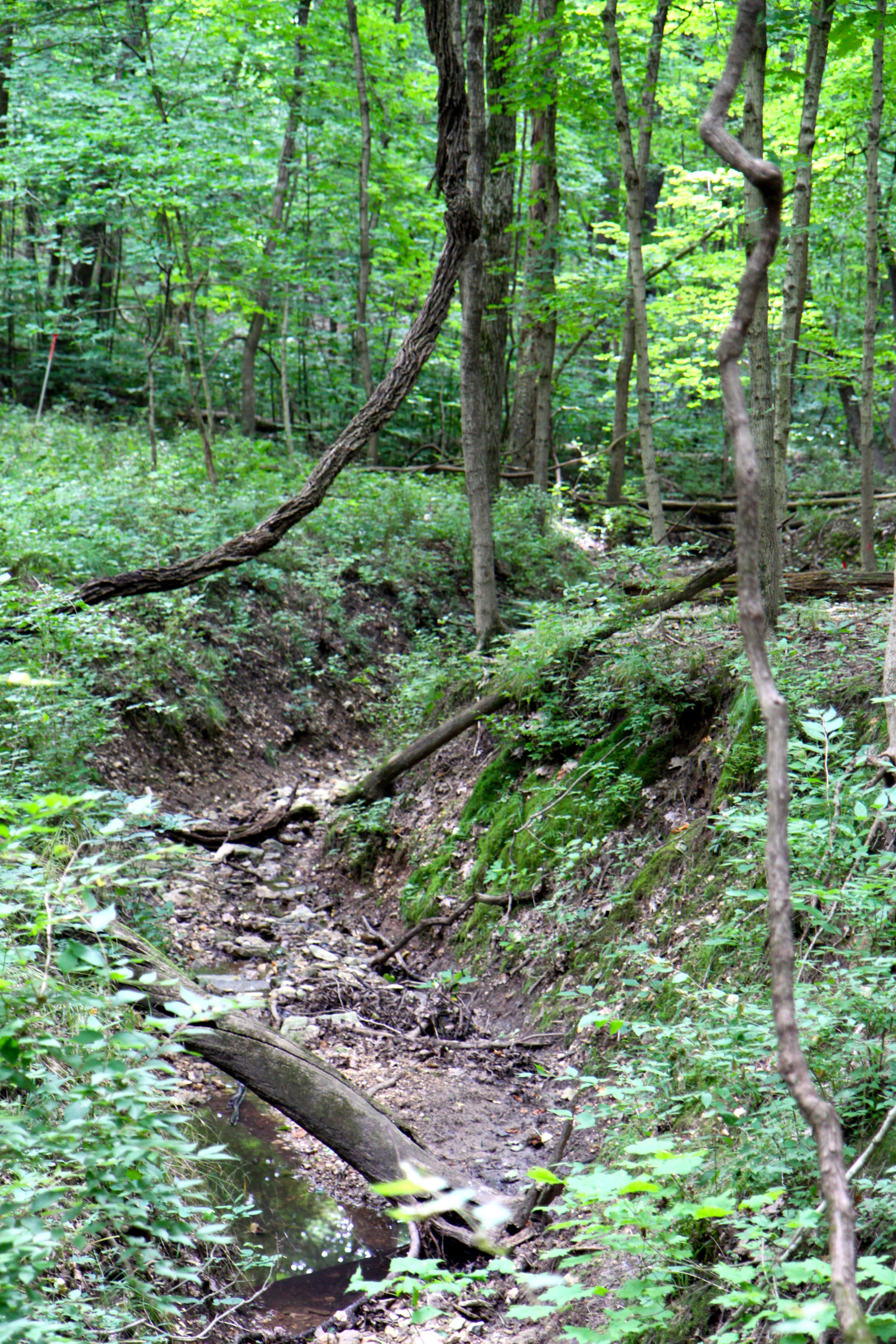
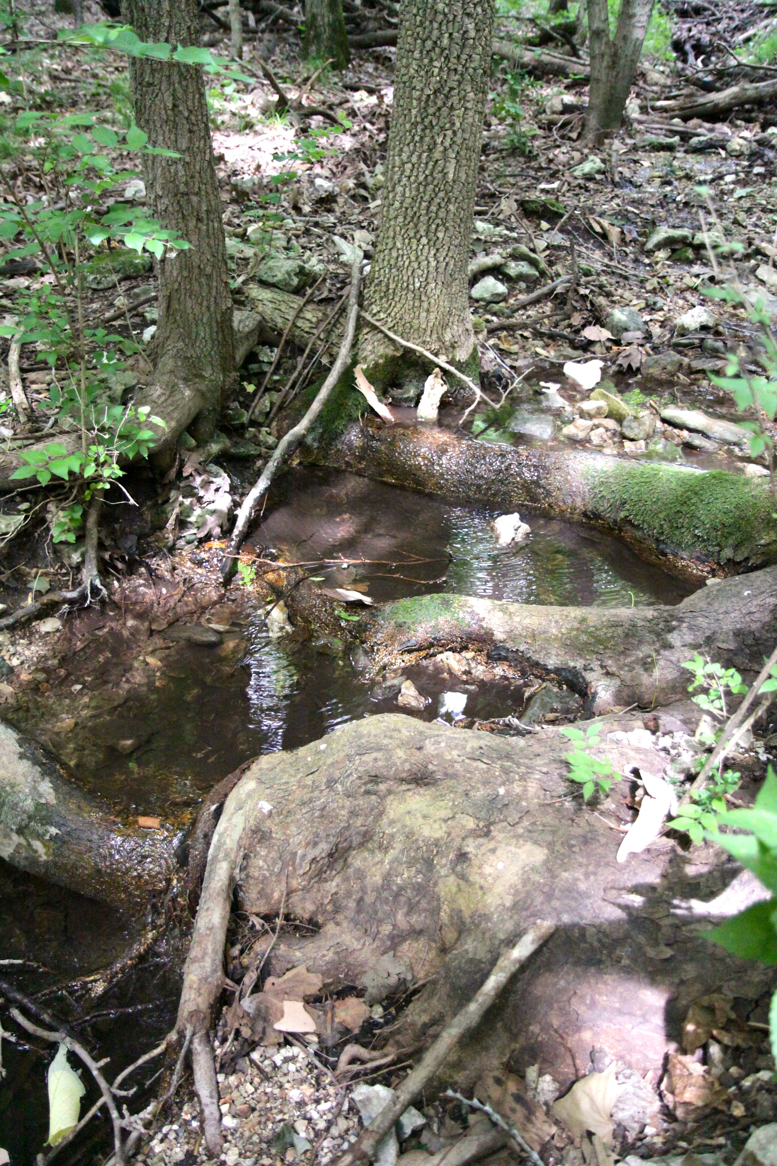
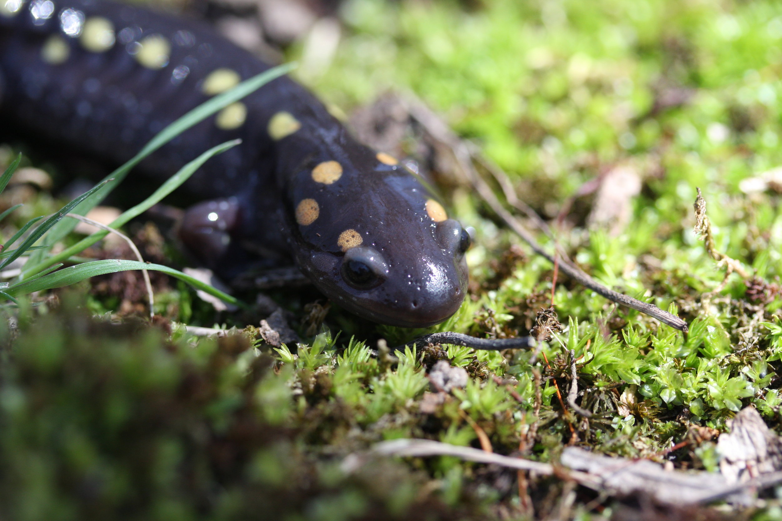
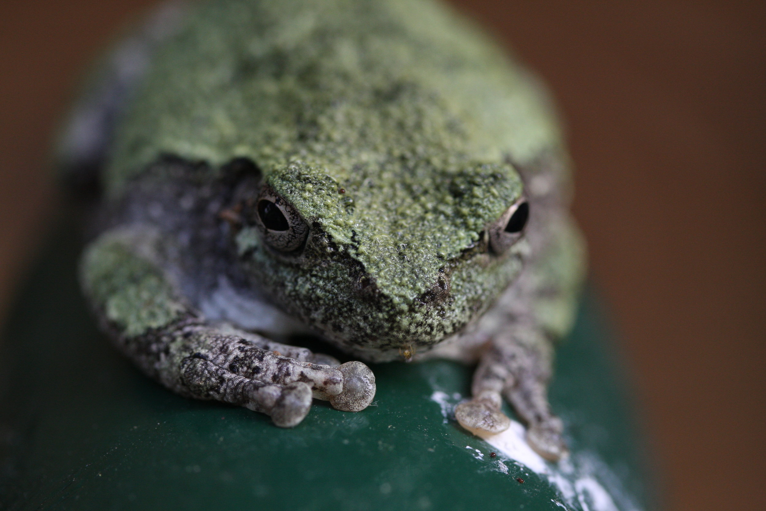
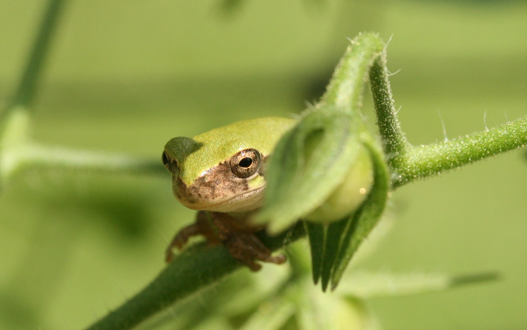
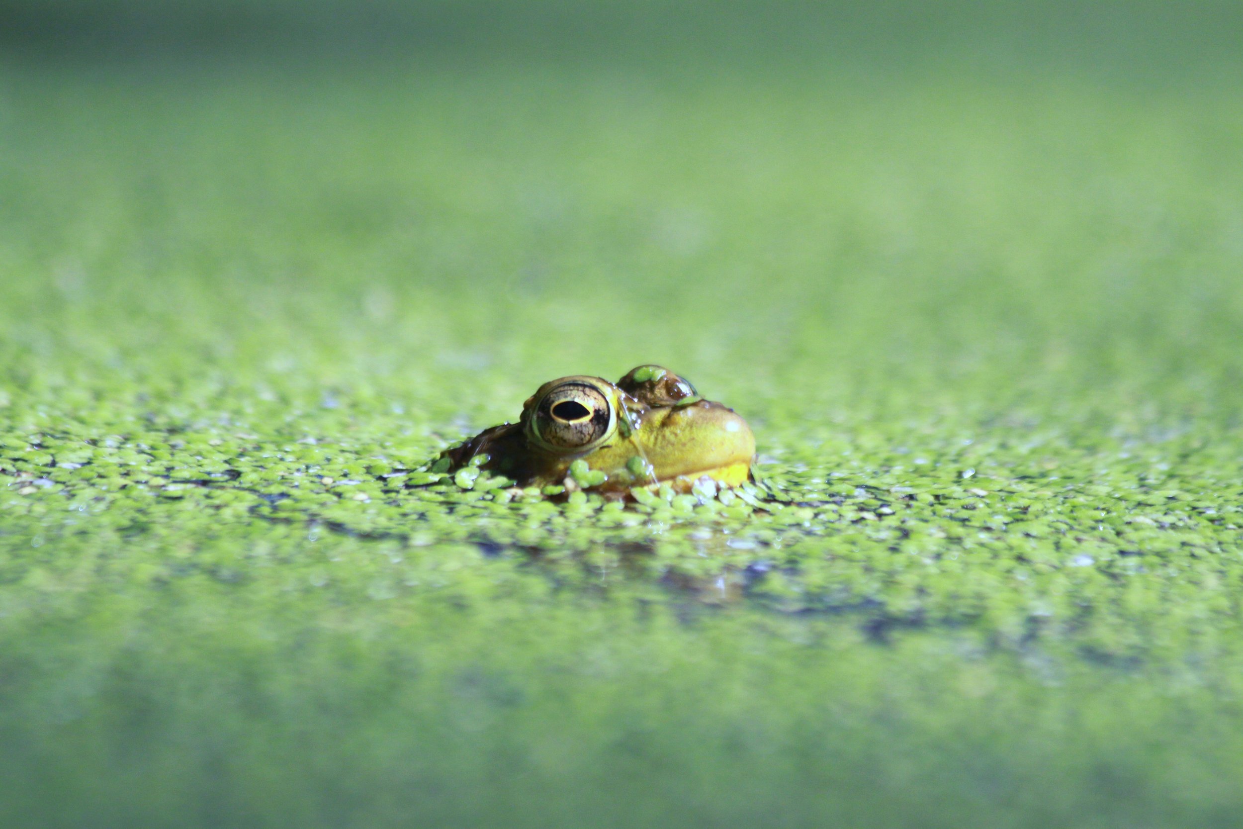
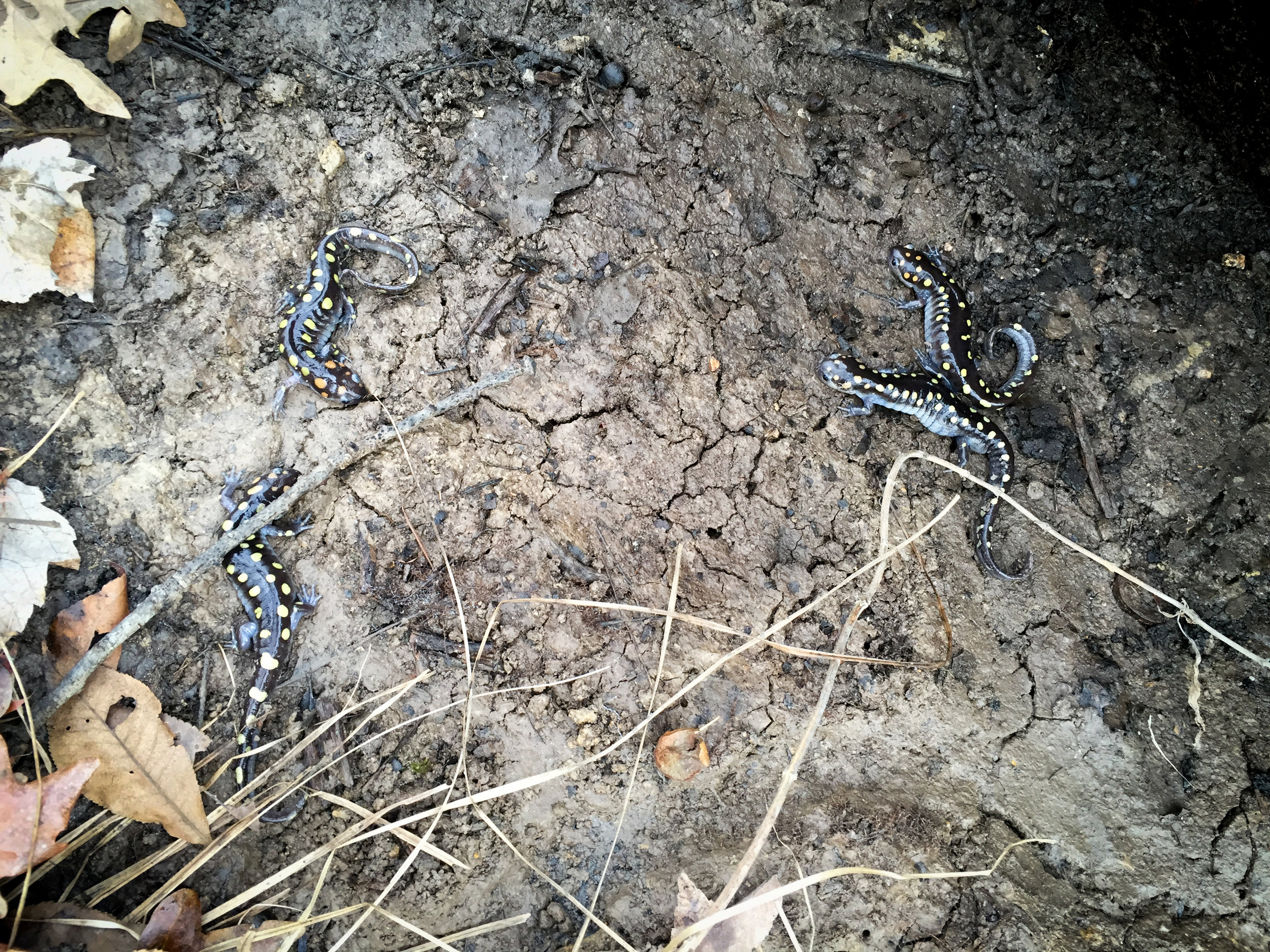
We have a number of constructed permanent and ephemeral ponds throughout the property. Most ponds are isolated water bodies in the forest. These ponds provide habitat for many aquatic invertebrates and amphibians, especially the Spotted Salamander (Ambystoma maculatum). We have a few ponds that are spring fed or flood prone from the nearby Meramec River. This diversity in pond type leads to a larger species pool of aquatic invertebrates, amphibians and fish. There is one small stream that runs year-round and countless small intermittent streams that flow after heavy rainfall events.

Old Field
A large portion of Tyson's main valley are open fields that are used for different types of research. These areas are maintained with a varied mowing schedule or lack thereof, based on needs of current researchers. We have areas where large arrays of aquatic mesocosms can be set up or we can use these areas to install plots for various plant research projects.

glade
Glades are rocky outcroppings on south and west facing slopes with shallow soils. These conditions create a hot and extremely dry environment suitable for prairie species. Tyson has about 60 acres of limestone/dolomite glade heavily invaded by red cedar. Part of this area has been restored by red cedar removal and seeded with native grasses and wildflowers within an experimental framework. We use prescribed burns to prevent red cedar invasion and promote growth of native grasses and wildflowers. More information about our experimental glades can be found here.

Prairie
In 2008, four acres of Tyson’s southern field was restored as native prairie. This former cropland was tilled and direct seeded with native grasses and wildflowers within an experimental framework. The entire 5 acre site is cut into 102 plots that are 10m x 10m. This study looks at how well invasive Lespedeza cuneata can establish in high/low nutrients and how well it establishes when it is seeded into a freshly disturbed field vs. an established prairie. In addition, forb and grass dominance were manipulated in plots to see how lespedeza responds.
Biota
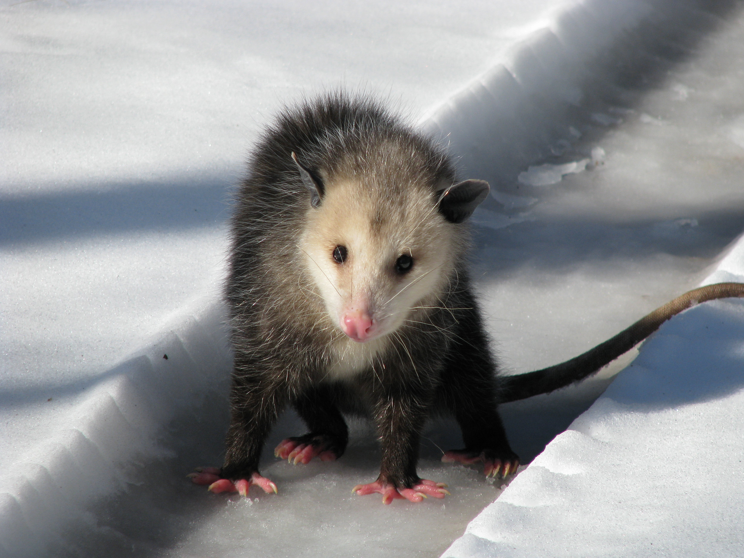
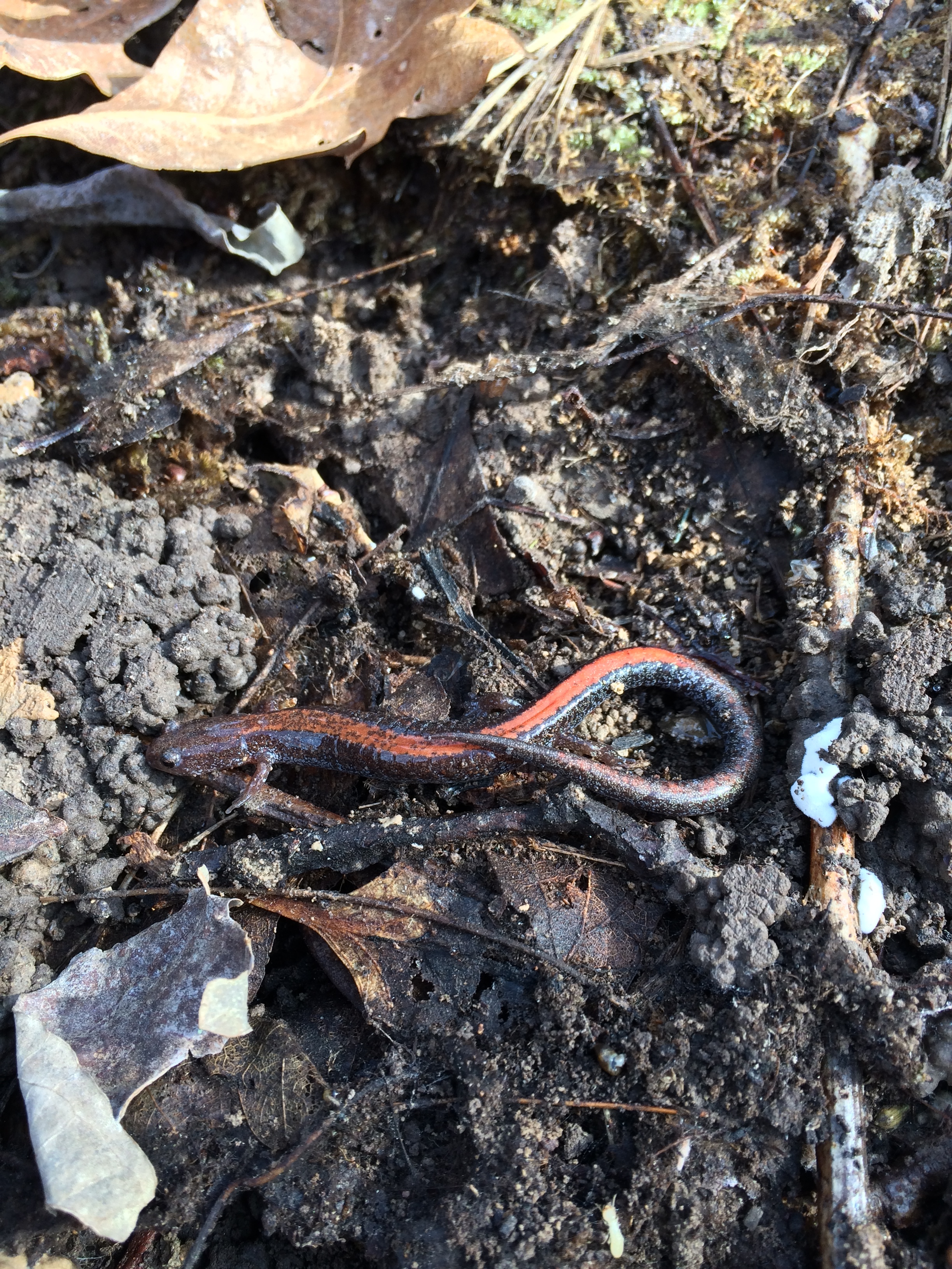
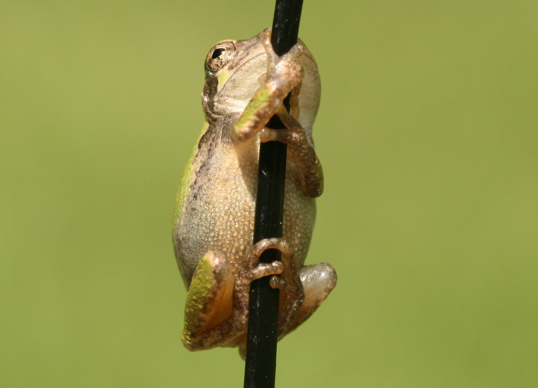
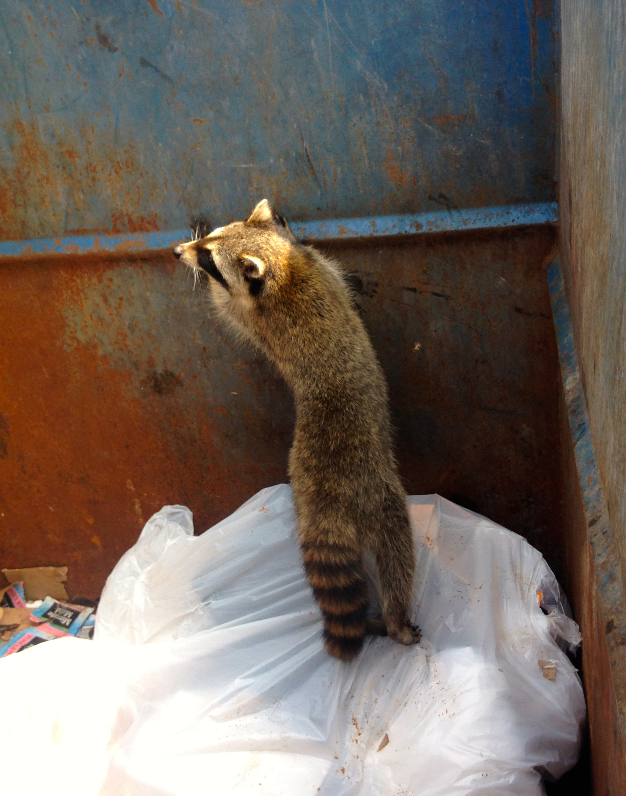
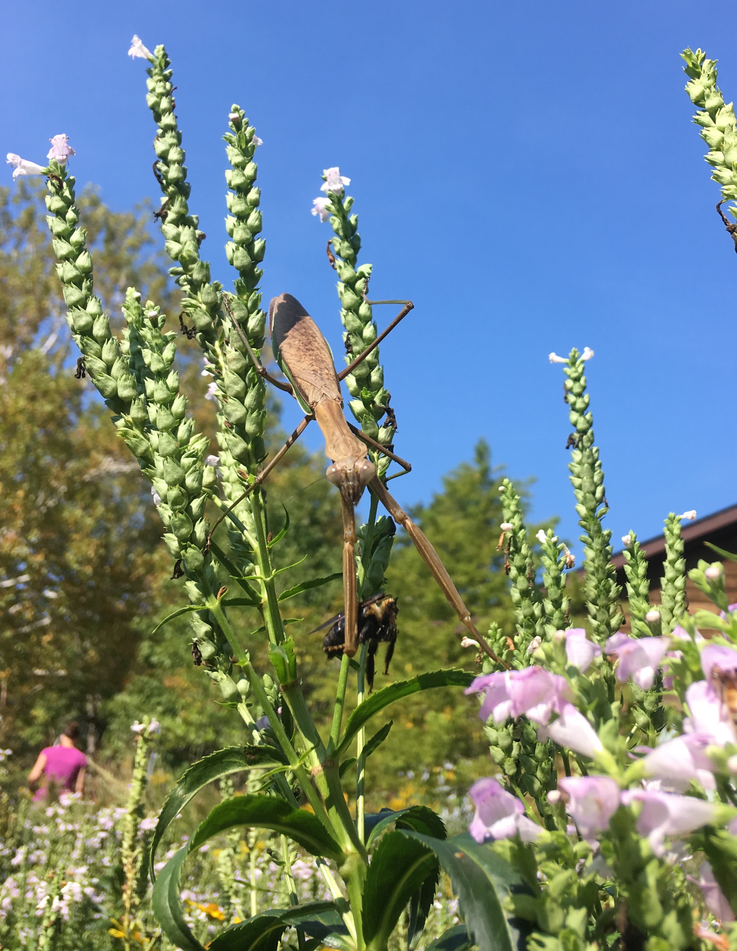
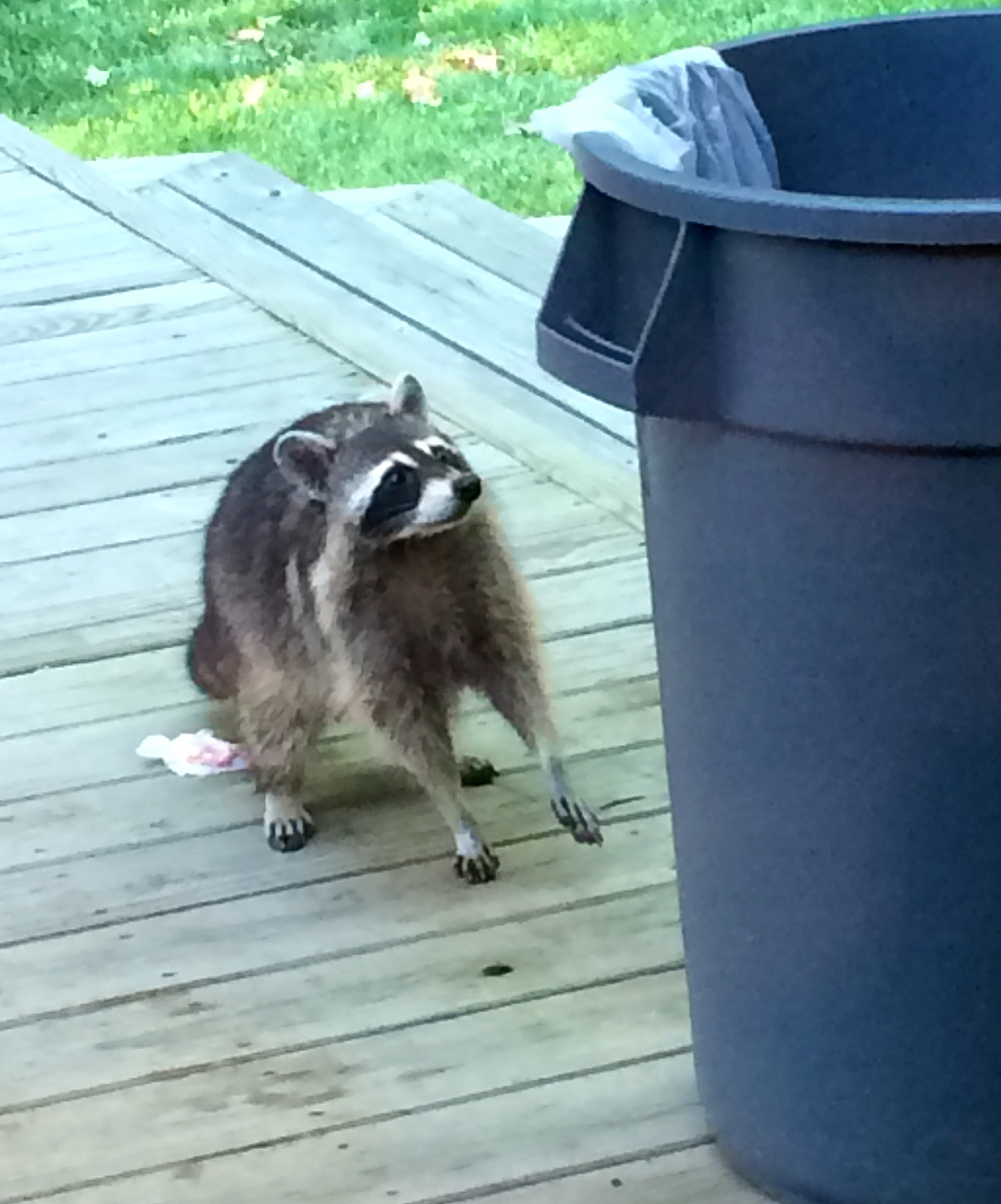
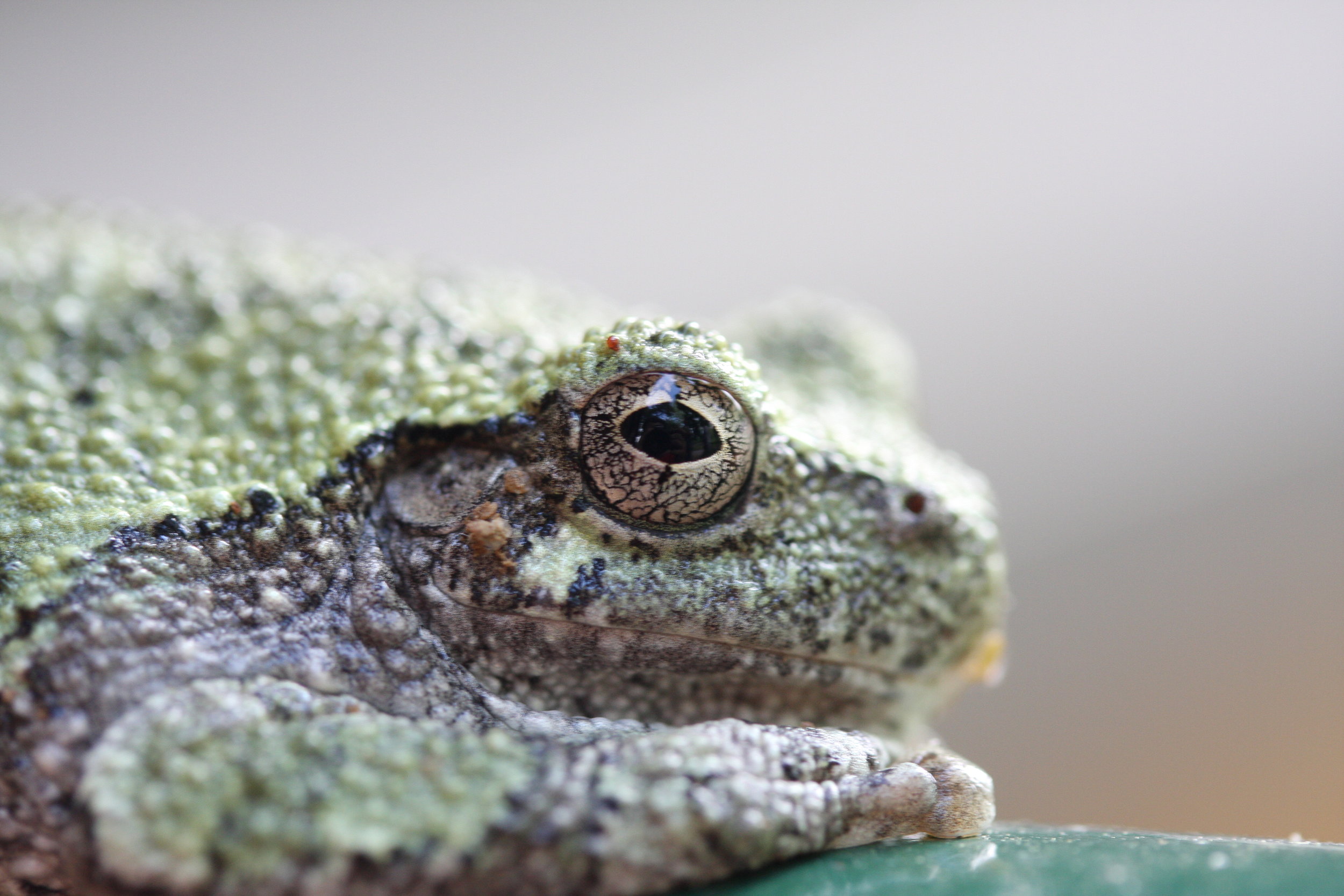
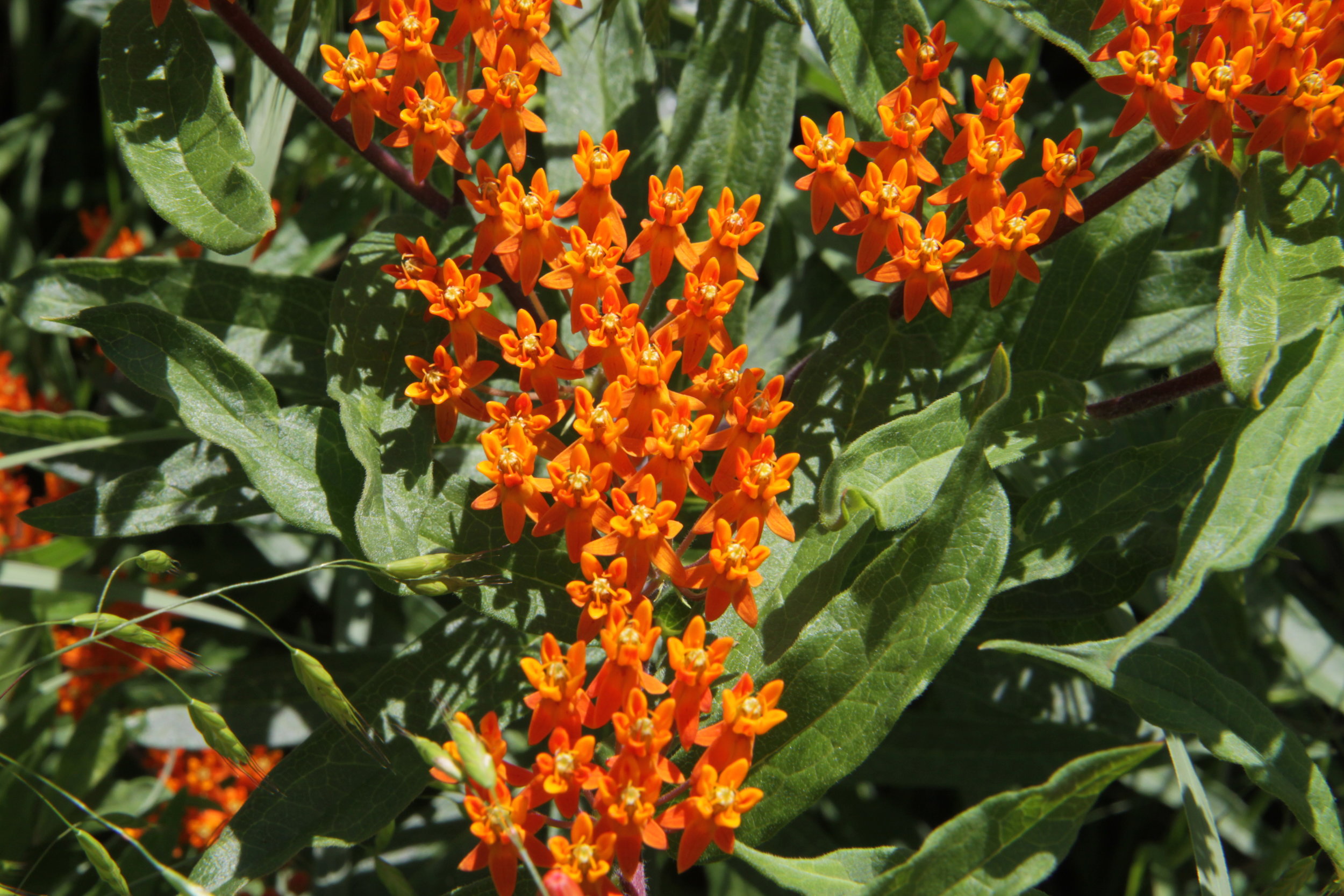
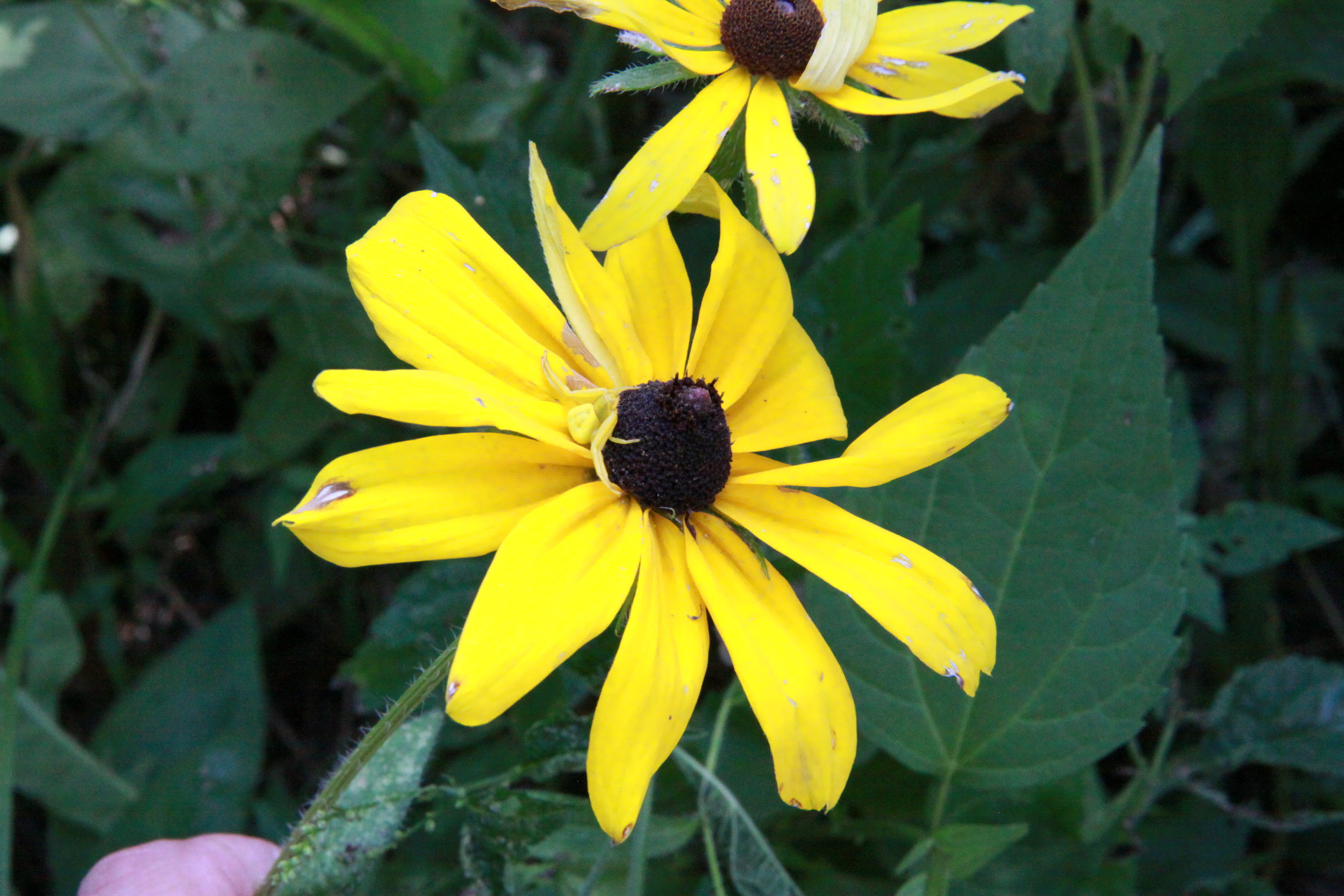
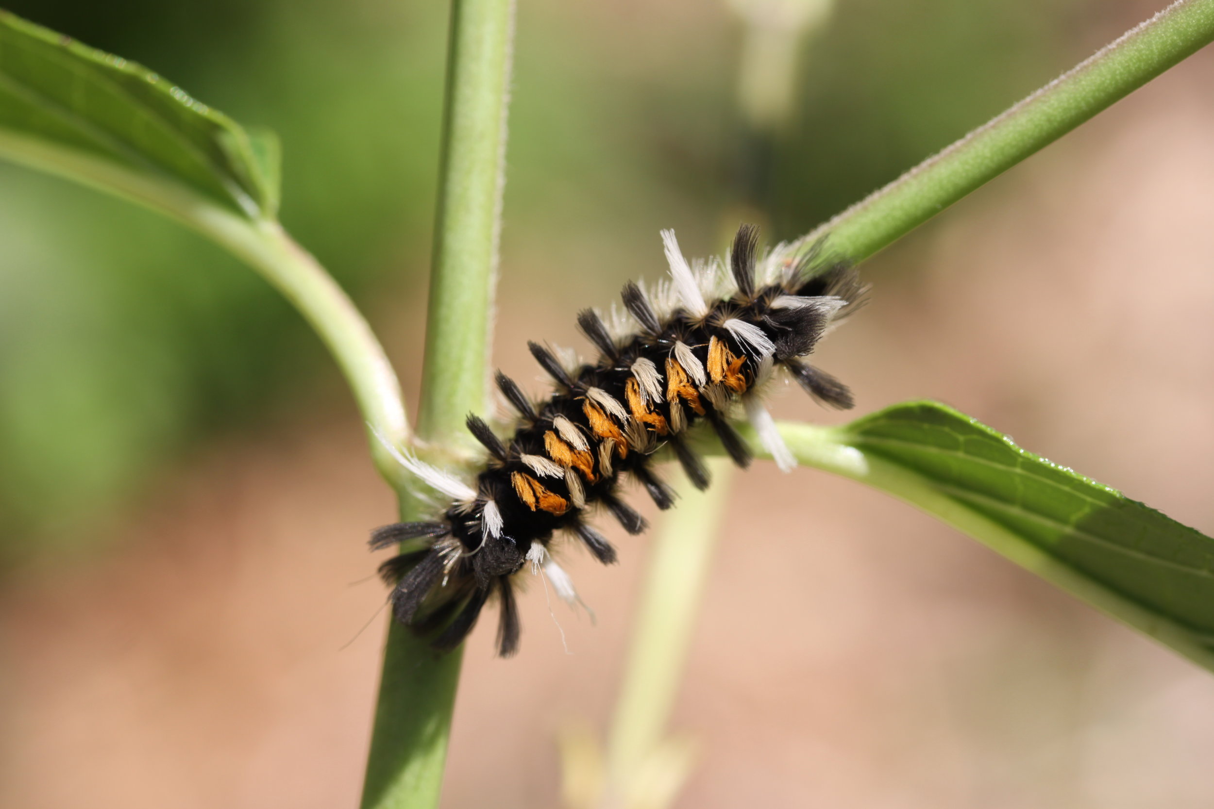
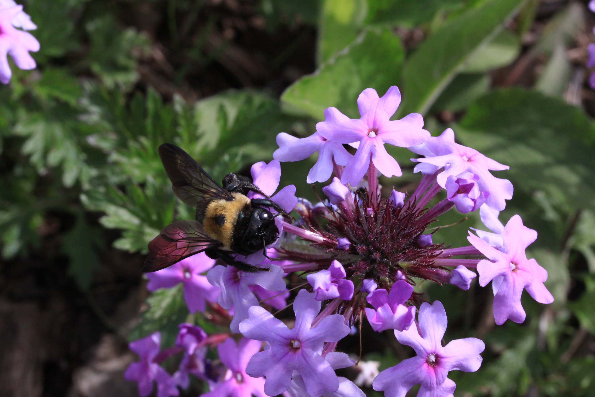
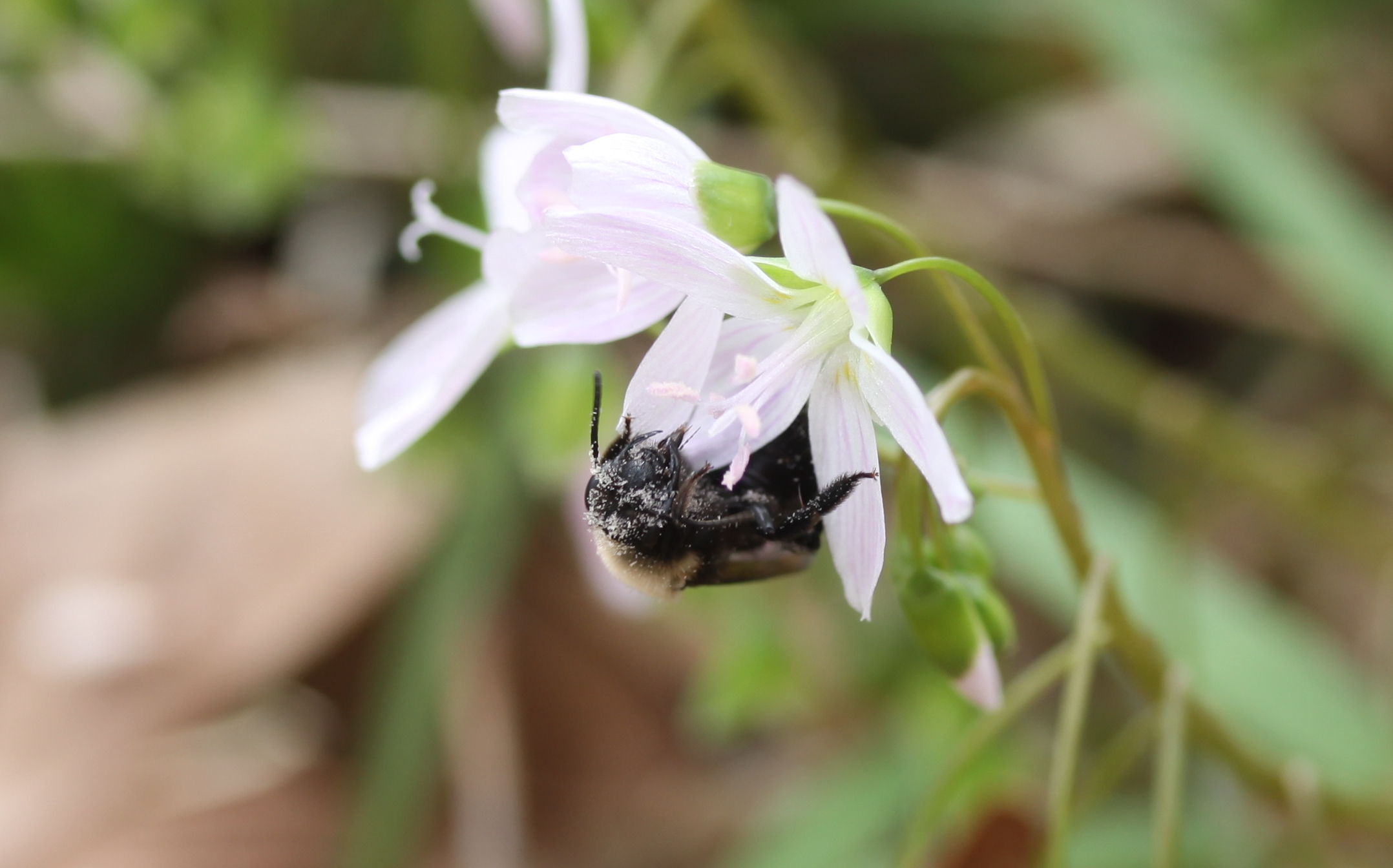
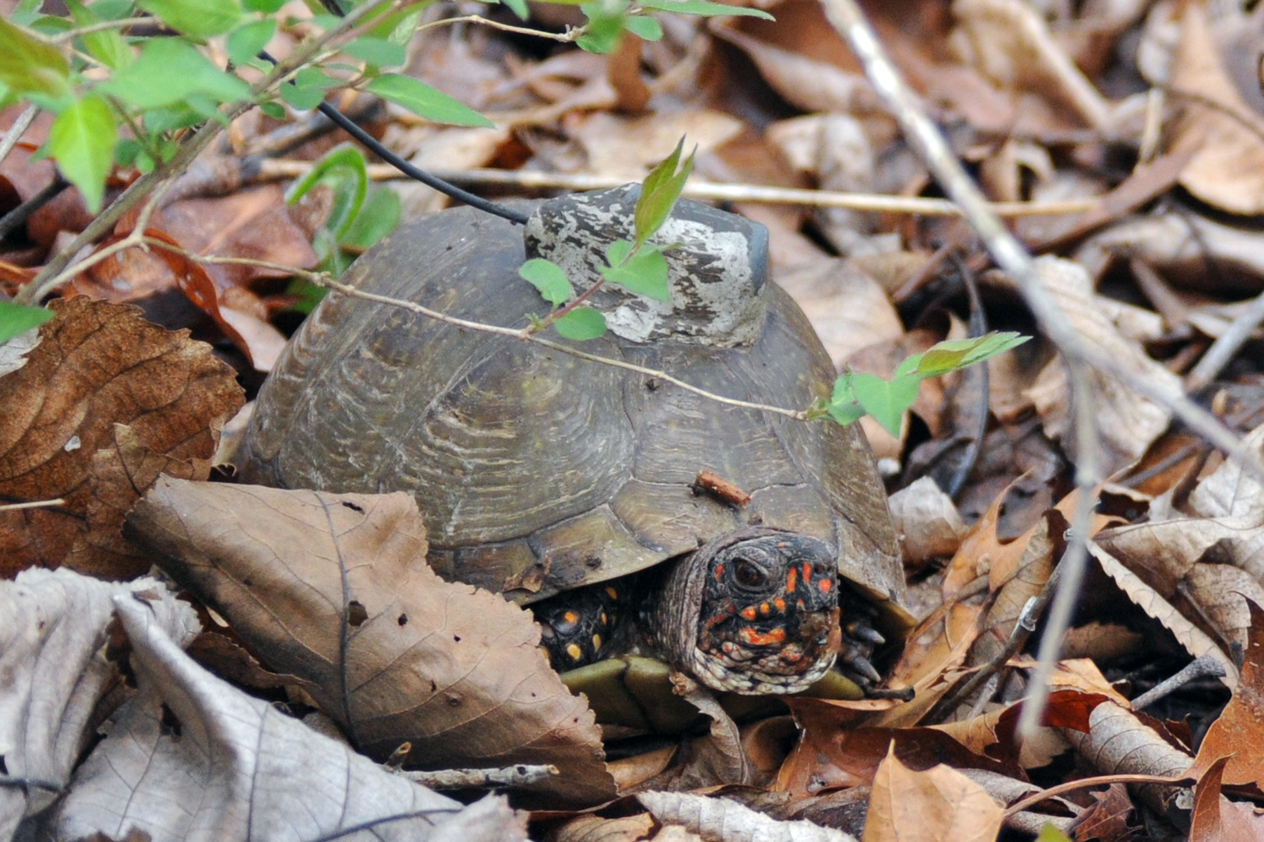
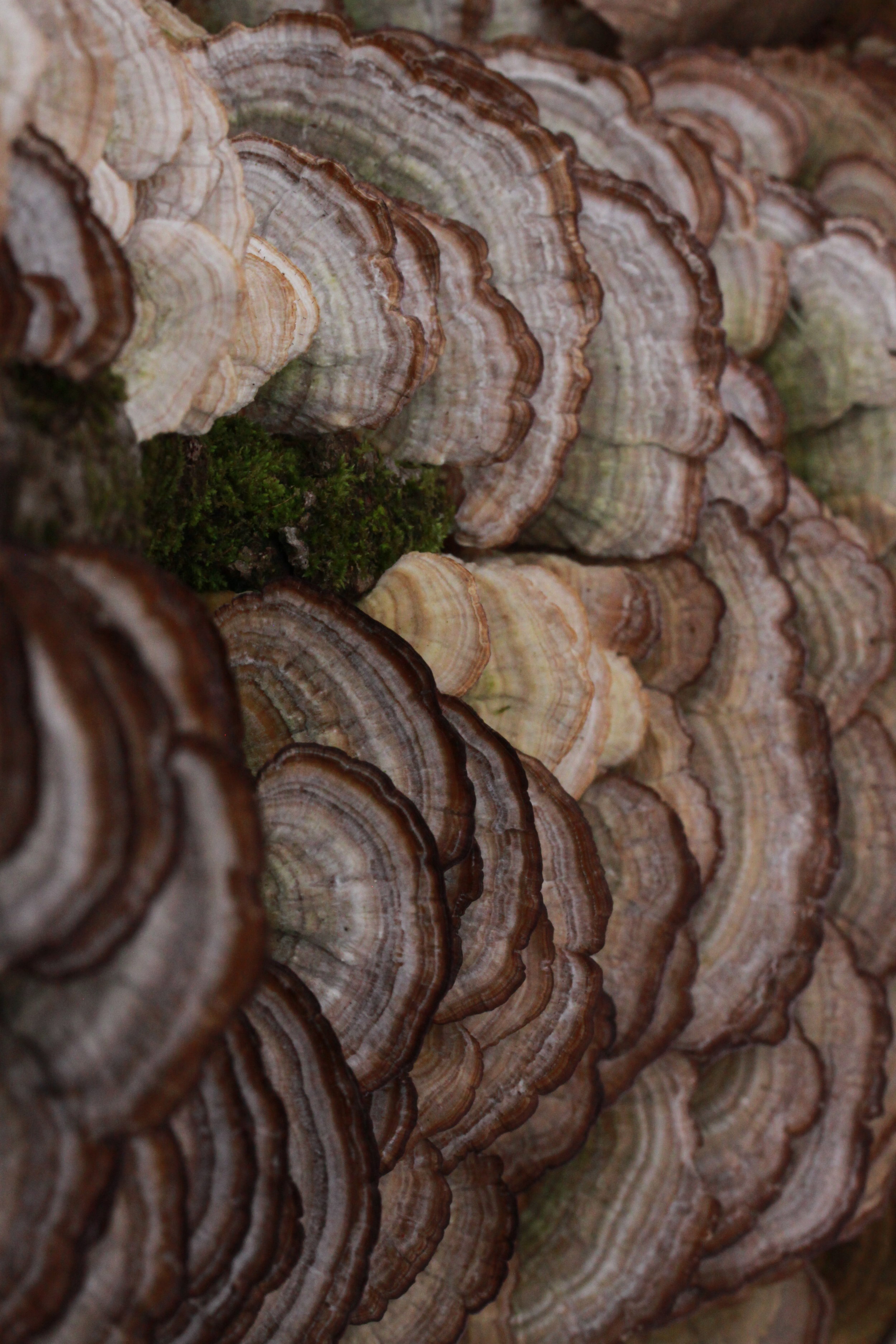
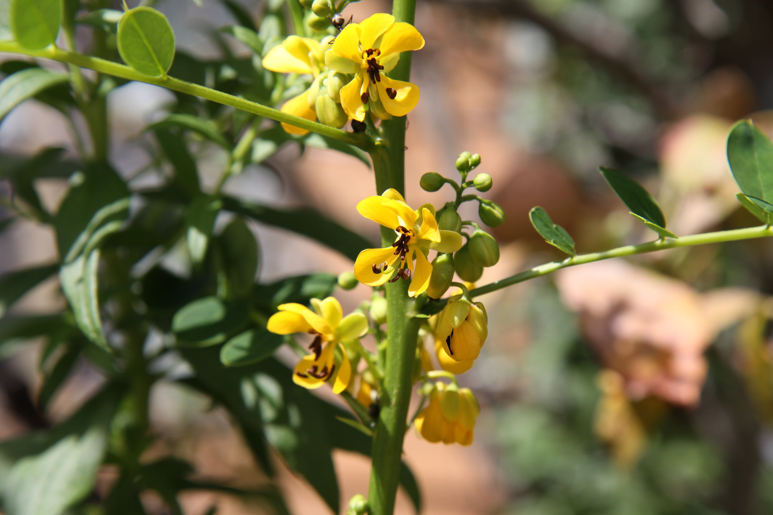
The flora and fauna at Tyson is consistent with what you would find in nearby natural areas of the upper Ozark region. The Missouri Department of Conservation field guide is a great place to start to understand the species found in this region.
For a current list of species found on our property please contact us or check out the TRC iNaturalist page.
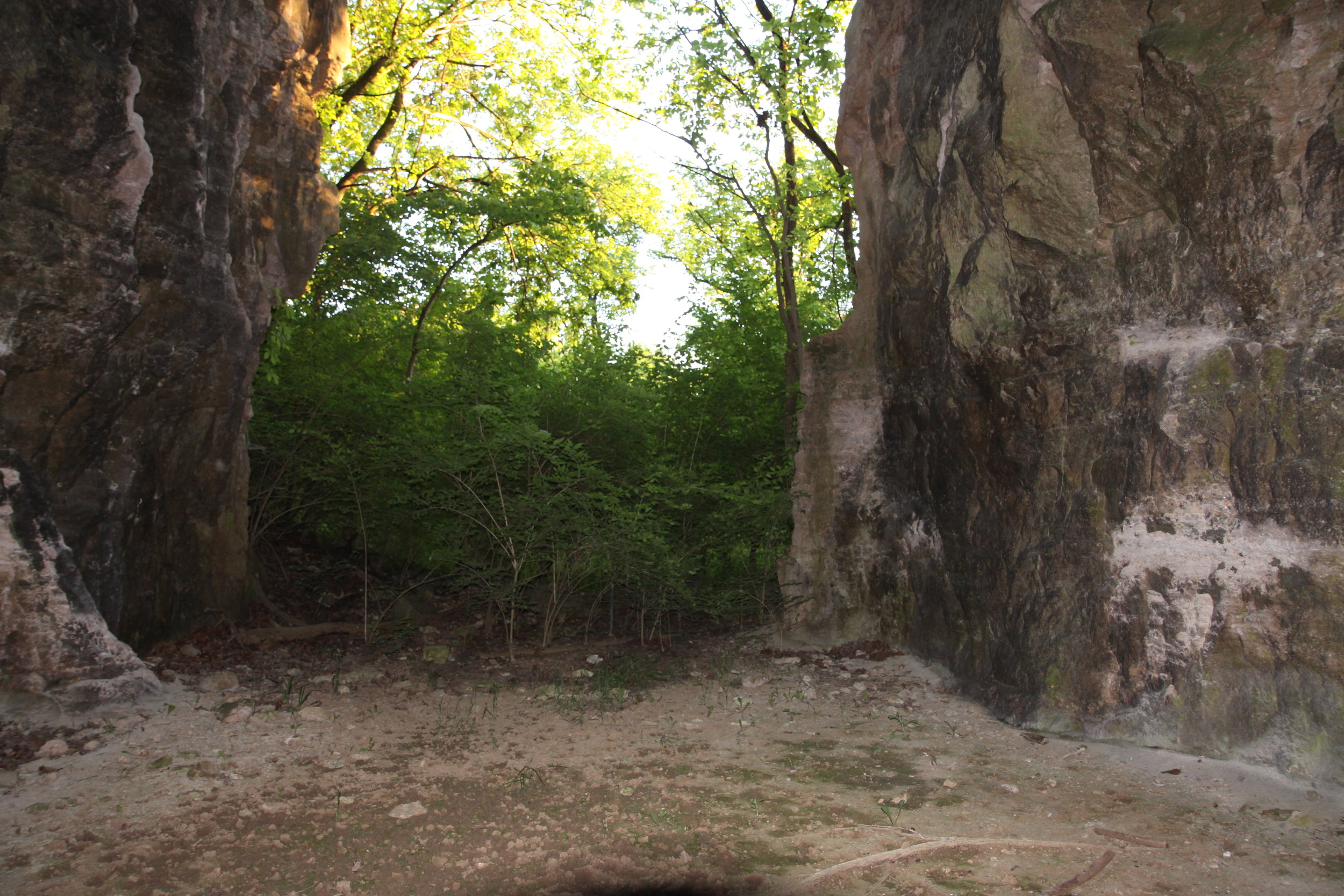
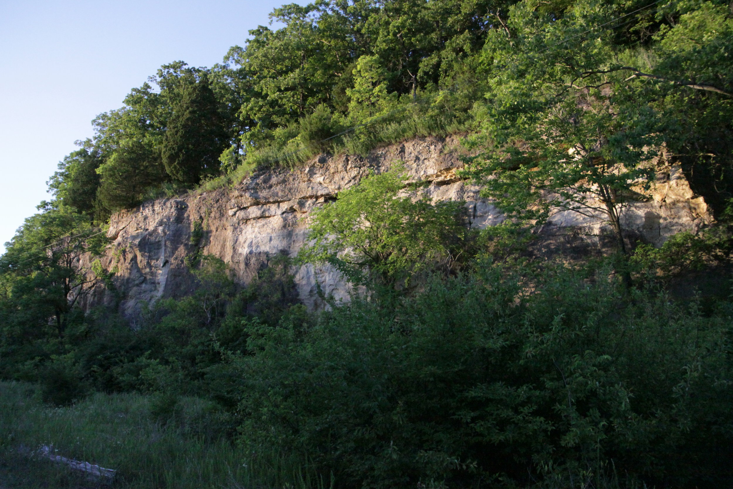
Geology
Tyson is located in a rugged part of the Ozark border that is primarily underlain by Paleozoic carbonate units that dip approximately 1 degree to the northeast. Significant aquifers are the Meramec River alluvium, Mississippian limestone, and the Ordovician carbonates, but the St. Peter Sandstone is the most important source of potable water in the immediate area.
Numerous springs emanate from the Burlington-Keokuk Limestone, from near the Fern Glen-Bushburg contact, and from the Kimmswick and Plattin Limestones. Karst features, including springs, losing and disappearing streams, sinkholes and caves, are well developed in the Burlington-Keokuk, Kimmswick and Plattin Limestones, demonstrating their high groundwater transmissivity.
Hydrology & Soil
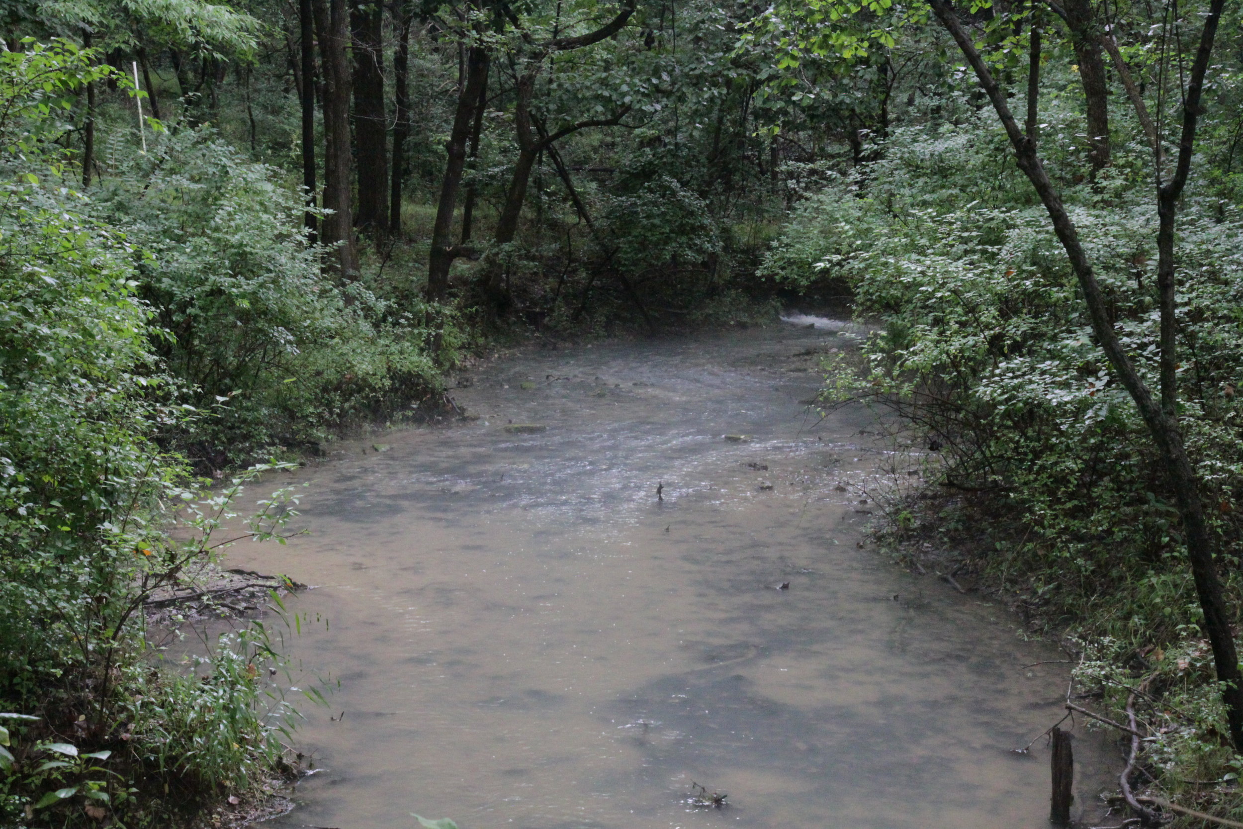
One permanent spring, Blue Grass Spring, and an additional 10-15 intermittent springs add to the diversity of aquatic habitats available. Blue Grass is the largest of these and produces Tyson's only permanent stream. Since the spring is only 100m from the south fence, the length of stream habitat available is correspondingly limited.
Tyson also borders a large bend in the Meramec River across from Castlewood State Park. This portion of the river carries more sediment and is wider than its upper reaches and it is located between two suburban cities. We have soils of the Gasconade-Clarksville-Menfro Association. In general, these soils are shallow and deep, dominantly stony and cherty, sloping to very steep, well drained and somewhat excessively drained soils that formed in chert free limestone residuum, cherty limestone residuum, and deep loess.